We are team of technical nerds, Hire Us for your next project


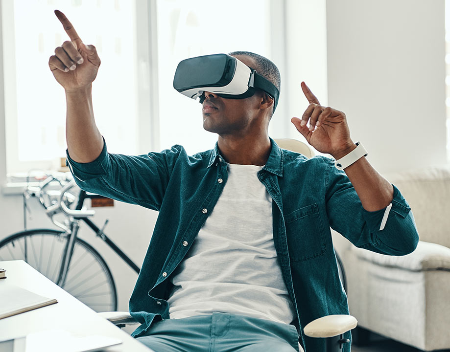
Polyline Annotation Services


RETAIL
ROBOTICS
 3D object detection finds extensive application in robotics, particularly to prevent collisions with dynamic entities such as humans, animals, and other objects.
AGRICULTURE
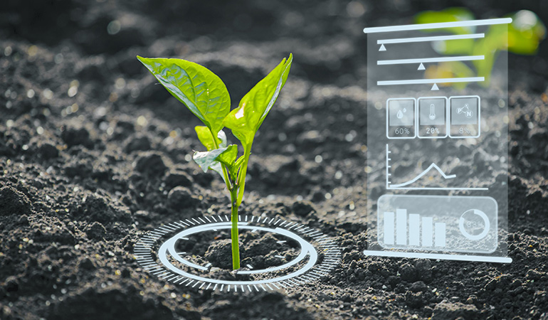 Supporting agriculture through computer vision training data involves facilitating the identification of product defects, sorting produce, managing livestock, assessing soil quality, implementing fertilizer applications, and fine-tuning genetic conditions.
INSURANCE
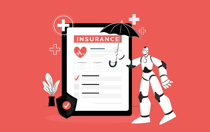 Preparing training data to integrate AI into insurance procedures for tasks such as risk assessment, fraud detection, underwriting and minimizing human error.
HEALTHCARE
 Incorporating annotations and accurate labeling within AI systems is crucial for uncovering connections within genetic codesand enhancing efficiency in healthcare processes.
SECURITY & SURVEILLANCE
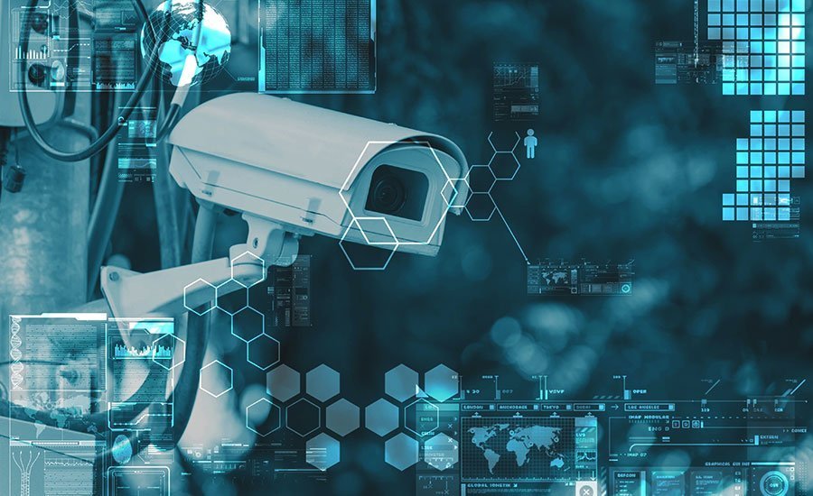 Facilitating the integration of AI into cameras and sensors enables the detection of potential risks at workplaces, airports, and industrial sites. This involves incorporating computer vision technology into security and surveillance systems.
SELF-DRIVING
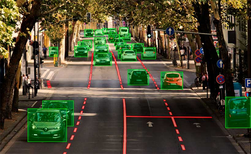
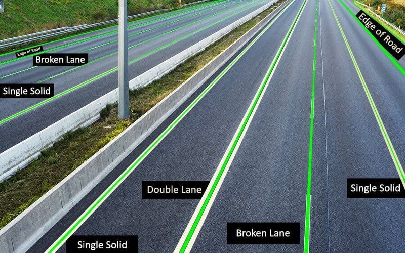
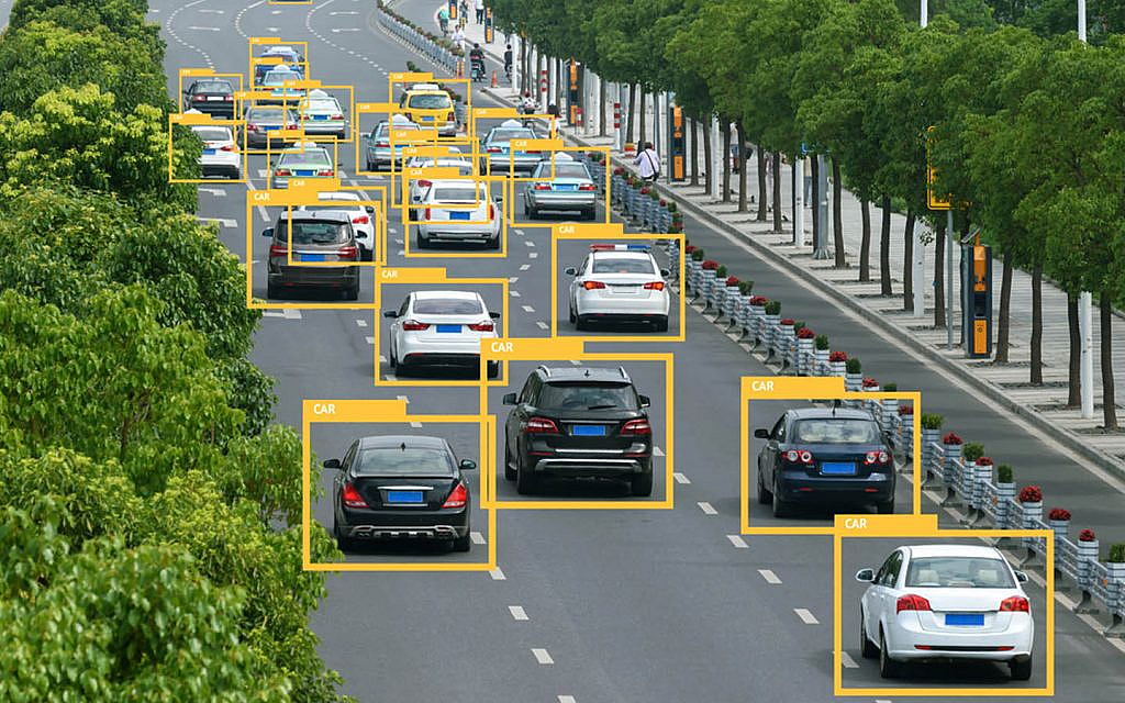 Bounding boxes serve to annotate the surroundings of a vehicle, aiding in the detection of various objects including pedestrians, vehicles, traffic signs, and barriers.
LOGISTICS
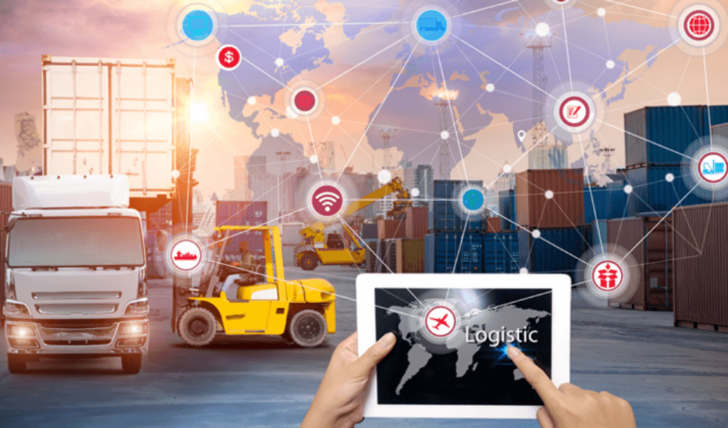 Logistics represents one of the growing areas of artificial intelligence application. We specialize in annotating images of goods to generate high-quality training data utilized in logistics.
AUTONOMOUS FLYING
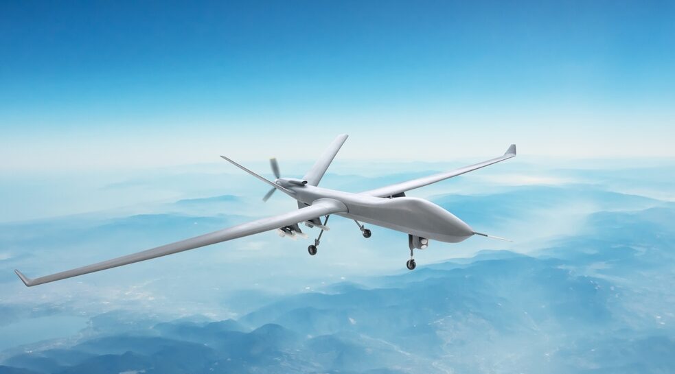 Simplifying and broadening access to AI implementations for automated or assisted flight can be achieved by leveraging image annotation conducted at the backend using training data specifically tailored for autonomous flying.